Update from 2014 Study Award winner Michael Fake
 The project is now in its final stages, with all the main methodologies sorted out and the data manipulation now complete. While the project has not exactly gone to plan. this has been a fantastic learning experience where I have had to learn all sorts of techniques around remote sensing and image analysis, as well as furthering my understanding of coastal ecosystems.
As far as what I expect the key results of the project will be, this project is likely to show just as much about the importance of setting up the image acquisition and preparation correctly as it is going to about how we can use the images from remote sensing to analyse dune environments. For instance, dune environments can be highly dynamic, both physically and with seasonal fluctuations in vegetation activity and cover. This means that for these types of studies, collecting both the remote sensing and field data at similar times will be important to ensure high accuracy in image classification and any further analysis and modelling with the data.
I believe that drone based aerial surveys of dune environments are very well suited to small scale monitoring projects, as I have found that a strong understanding of your study environment is important for image interpretation at such fine spatial scales.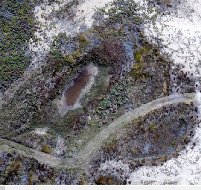
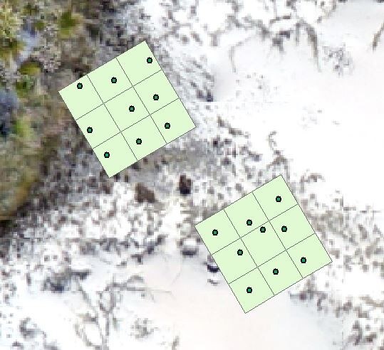
Photos:
“Plots” shows the plant community study polygons overlayed with the GPS points taken in feild. The relatively high spatial error of the gps unit used (50cm post-processing, compared to the pixels which are 10 cm by 10 cm) meant that the exact locations of plots were not able to be located.
“Water” is one of many seasonal water bodies that occurs at Ocean Beach. Ground water can significantly affect spectral data, resulting in higher amounts of error unless properly accounted for.
Posted: 10 December 2015 in the News category